PLANTS | ANIMALS | ECOLOGY | FUNGI | GEOLOGY | GARDENING | TOOLS
MEXICAN PLANTS & ANIMALS HOME

Excerpts from Jim Conrad's
Naturalist Newsletter
from the August 28, 2011 Newsletter issued from Mayan Beach Garden Inn 20 kms north of Mahahual; Caribbean coastal beach and mangroves, ~N18.89°, ~W87.64°, Quintana Roo state, MÉXICO
THUNDERSTORM OUTFLOW CLOUDS
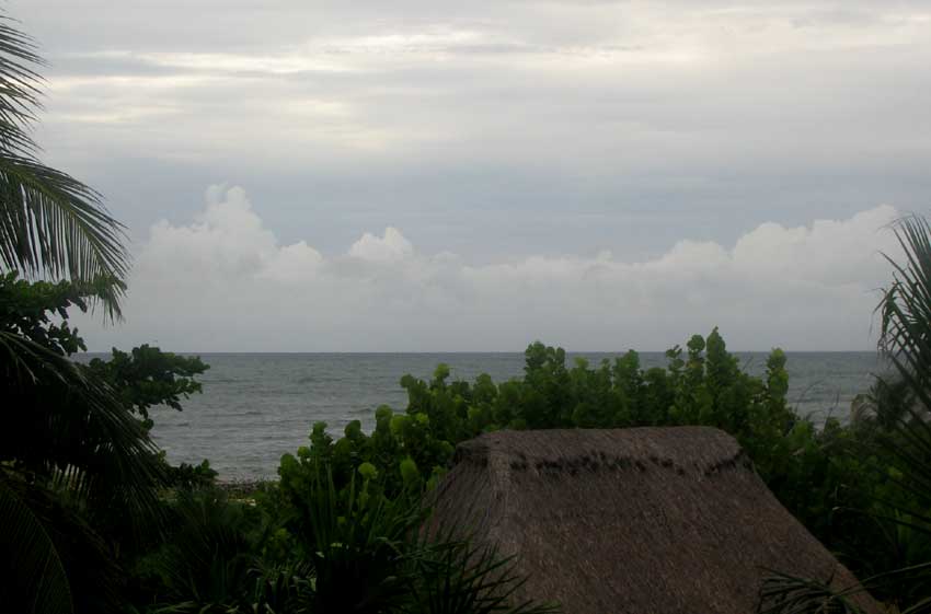
Last weekend Tropical Storm Harvey came ashore in Belize just south of us. Though the storm missed us, it got close enough to bestow us with two days and nights of blessedly cool winds and a few brief showers delivered beneath very dark, threatening-looking clouds approaching from the sea.
One interesting cloud formation associated with the hurricane developed low over the water beside and beneath bands of storms spiraling outward from Harvey's center. You can see such a low wall of dark clouds with pale, raggedy tops advancing before an approaching storm's much higher, darker clouds at the top of this page.
I'm interpreting the lower clouds as being formed at the "outflow boundary" of the dark-bottomed storm looming behind them. The outflow boundary is formed like this:
Mature storms consist of both updrafts of warm air and downdrafts of much cooler air. When cool downdrafts reach ground level they spread outward. In the picture we're seeing the front of a wave of cooled "outflow" air rushing away from the center of the dark-looking storm looming behind it.
The outflow boundary also is known as a "gust front." And it's true that when the clouds reached shore they were accompanied by stiff gusts and sharply cooler air and rain.